BEST OF BIG SUR
This guide will show you where to stay, the best places to eat, and scenic stops along Big Sur. This itinerary goes from South to North.
TRAVEL TIPS
- Be sure to check the road conditions beforehand.
- Campgrounds fill up fast during peak season, so plan ahead and check for cancellations regularly.
- Gas is extremely expensive in Big Sur, so fill up before entering.
- Stop at EVERY vista point.

How Much Time Do I Need?
It’s possible to see Big Sur in one day, but I recommend staying at least a night or two for the best experience.

WHERE TO STAY
I recommend camping. I have camped at Julia Pfeiffer Burns State Park and Treebones Resort. However, staying at Deetjens Big Sur Inn is definitely on my wishlist!

Camping at Treebones Resort was also an amazing experience. You could also opt for their glamping experience in one of their beautiful yurts or treehouses!


LIMEKILN STATE PARK
Limekiln Falls is an easy, 1.4-mile out & back trail. This is not the most impressive waterfall, but there are some nice trails lined with redwoods and campsites in Limekiln State Park.

MCWAY FALLS
This iconic waterfall is within Julia Pfieffer Burns State Park. Most people just pull over and take a photo from the road. Try to come here in the afternoon when the sun is shining directly on the falls.

PARTINGTON COVE TRAIL
Easy, 1.1-mile out & back trail. You pass through this spooky tunnel to get to the coastline.

BUZZARDS ROOST TRAIL
From the Julia Pfeiffer Burns campground you can walk to several trail heads. We opted for this easy, 2.8-mile loop trail.

From the Julia Pfeiffer Burns campground you can walk to several trail heads. We opted for this easy, 2.8-mile loop trail.

The fog was just starting to lift as we got to the top of this trail. We were here in late August, but this is a great trail for wildflowers in the Spring.

PFEIFFER BEACH
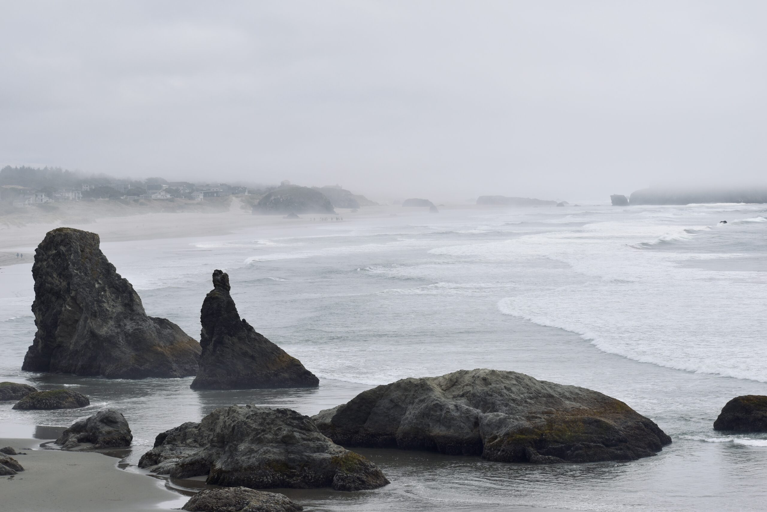
This is one of my favorite beaches in Big Sur. Keep your eyes peeled for Sycamore Canyon Road. There is no Pfeiffer Beach sign.

It is a 2-mile drive down to the beach, and you have to pay a $10 fee.

Keep an eye out for the purple sand!

ANDREW MOLERA STATE PARK
There is a beautiful 8.8-mile bluff trail in this park. We didn’t have time to complete the entire trail, so we went as far as we could and then turned around.
BIXBY CREEK BRIDGE
For a back-road, off-the-beaten-path experience, veer off the highway and take Old Coast Road. This route takes you behind the Bixby Bridge, providing a completely different perspective. I only recommend going with a 4WD, high-clearance vehicle. We attempted this in my Mazda 6 and found it rough at times.


GARRAPATA STATE PARK & SOBRANES POINT
You’ll find beautiful coastal trails tucked away here. This is one of my favorite areas along Big Sur.

This is a lesser known area, so chances are it won’t be as crowded. One of the most picturesque areas of the park is Cala Lily Valley in the Spring when the flowers are in bloom. This almost felt like Ireland to me.


POINT LOBOS STATE NATURAL RESERVE
There are a ton of walks and trails to choose from in here. Our favorites were China Cove and Bird Island Lookout. There are a ton of walks and trails to choose from in here. Our favorites were China Cove and Bird Island Lookout.

IF YOU HAVE TIME
Make sure to check out Carmel and Monterey if you’ve made it this far north. Carmel is a very charming storybook town.

WHERE TO EAT
Nepenthe is our favorite spot for drinks and appetizers in Big Sur, but I mainly come here for the views. Expect longer wait times, but there are plenty of places to wait and enjoy the views outside. There is also a neighboring café and local shop you can peruse. Also a great spot for sunsets!
Big Sur Bakery is our favorite place to grab a coffee and pastry. Be sure to try the almond croissant. It is the best you’ll ever have!

OTHER FAVORITES
- Henry Miller Memorial Library
- Big Sur Tap House
- Coast Big Sur
- Deetjens


